

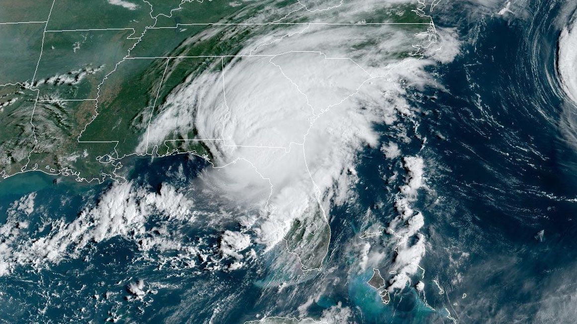
ORLANDO, Fla. — Idalia has made landfall in Florida's Big Bend as a Category 3 hurricane early Wednesday morning as disastrous storm surge and winds continue to impact the state's Gulf Coast.
Idalia's winds decreased slightly to 125 mph before landfall, making it a Category 3 hurricane again.
The change in wind speed does not diminish the threat of catastrophic storm surge and damaging winds.
Idalia continues to move NNE at 18 mph through what has been a favorable environment for intensification. Impacts from storm surge are expected to continue for several hours into Wednesday.
A state of emergency is in effect for 49 Florida counties, including:
Alachua, Baker, Bay, Bradford, Brevard, Calhoun, Charlotte, Citrus, Clay, Collier, Columbia, DeSoto, Dixie, Duval, Flagler, Franklin, Gadsden, Gilchrist, Gulf, Hamilton, Hardee, Hernando, Hillsborough, Jefferson, Lafayette, Lake, Lee, Leon, Levy, Liberty, Madison, Manatee, Marion, Nassau, Orange, Osceola, Pasco, Pinellas, Polk, Putnam, Sarasota, Seminole, St. Johns, Sumter, Suwannee, Taylor, Union, Volusia, and Wakulla counties.
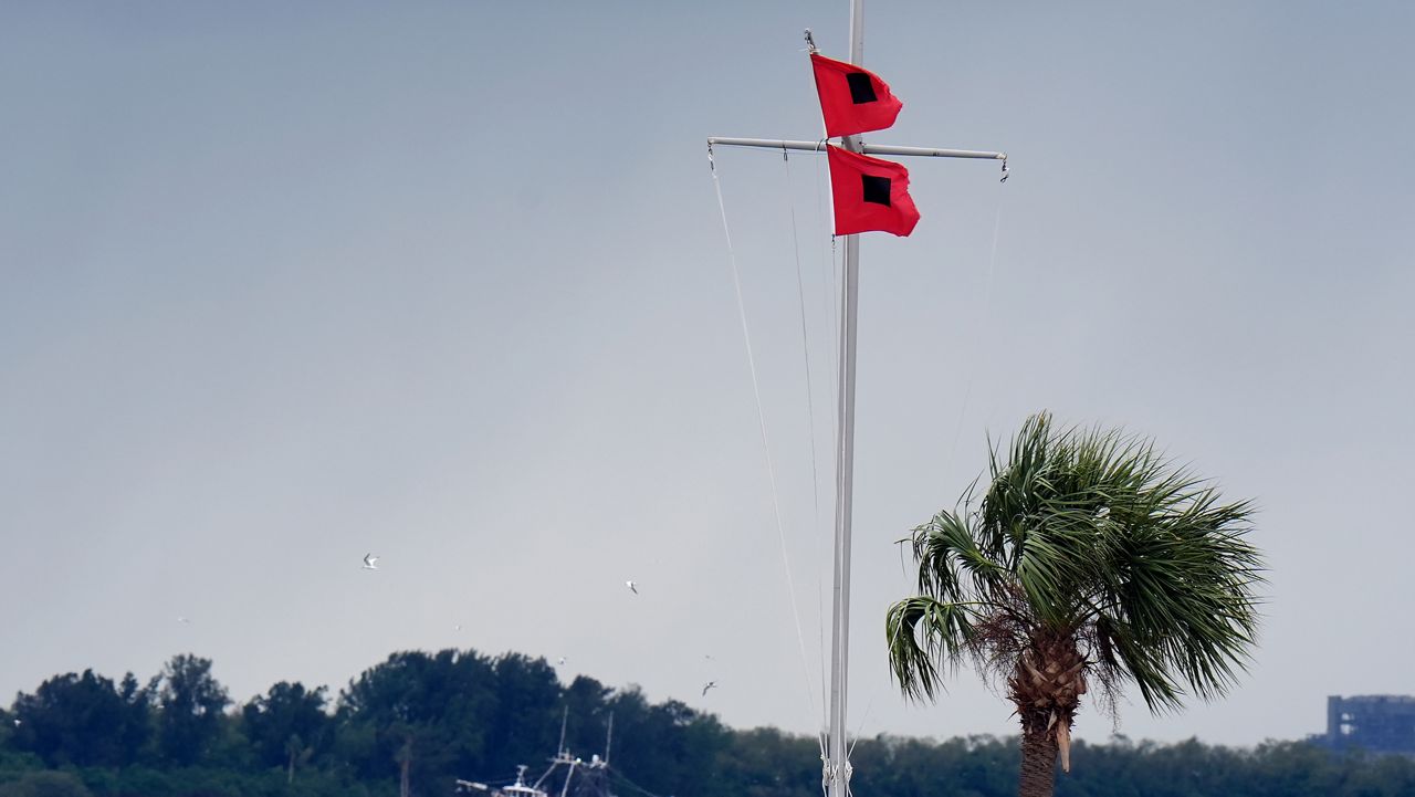
Hurricane and Storm Surge Warnings are now in effect along northern and central portions of the Florida Gulf Coast, including Tampa Bay. Both of these warnings have been extended westward to include Indian Pass. A Tropical Storm Warning has been issued from west of Indian Pass to Mexico Beach. The Storm Surge Watch along the southeast coast of the United States has been extended northward to south Santee River.
Hurricane-force winds extend out 25 miles from the storm's center while tropical storm-force winds extend outward up to 160 miles. Rain bands have produced gusts over 60 mph around Tampa Bay.
WATCHES/WARNINGS IN CENTRAL FLORIDA:
- Tornado Watches have been issued for Lake, Sumter and Marion counties until 6:00 a.m.
- Hurricane Warnings have been issued for western Marion and Sumter counties.
- Tropical Storm Warnings have been issued for Brevard, Orange, Seminole, Volusia, Osceola, Flagler, Lake and Polk counties
- We also have a Heat Advisory area-wide Tuesday from 11 a.m. to 5 p.m. for heat index values of 108-112.
TIMING:
Outer bands rolling across the area will be capable of severe wind gusts, locally heavy rain and isolated tornadoes as we progress into the morning hours.
The worst impacts in Central Florida are still expected through around lunchtime today.
There has been another slight shift in the forecast track to the west as of the latest advisory. We’ll monitor these slight shifts right up until landfall, which appears to be somewhere near Fish Creek around 7 a.m. - 9 a.m. The exact timing is still to be determined based on how the storm evolves tonight.
This storm will be moving quickly and could clear our area as early as this evening.

LOCAL IMPACTS:
Based on the current track, central Florida will still experience gusty squalls, brief heavy downpours, and a risk for a few tornadoes. Hurricane-force winds now extend out 25 miles from the storm’s center, and tropical-storm-force winds extend out 160 miles.
Major flooding is not a big concern for Central Florida, although minor ponding may occur when these squalls produce locally heavy rain. The heaviest rain will be on the western side of the peninsula; Sumter County is included in a Flood Watch until Thursday morning.
The forecast is calling for 1-4” of rain along Interstate 4 and to the southeast. While Western Flagler, Marion, Sumter, Lake, and Polk counties could see 2-5”+ of rainfall.
Sustained winds are likely to stay under tropical storm force for much of Central Florida. The strongest winds will be in Lake, Sumter, and Marion counties based on the current forecast and advisories.
Storm surge warnings are in effect for the Gulf Coast, including Tampa Bay. Storm surge will not be a factor for our immediate viewing area, but Wednesday will be a full moon, and water levels may come up a little higher than usual with the tide cycles.
Ocean conditions are still rough at our east coast beaches this week due to large wave swells from distant hurricane Franklin, and this would not have anything to do with Idalia.
POTENTIAL NATURE COAST IMPACTS:
- Widespread deep inundation, with storm surge flooding greatly accentuated by powerful battering waves.
- Structural damage to buildings, with many washing away.
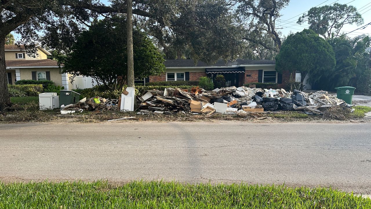
- Damage greatly compounded from considerable floating debris. Locations may be uninhabitable for an extended period.
- Near-shore escape routes and secondary roads washed out or severely flooded. Flood control systems and barriers may become stressed.
- Extreme beach erosion. New shoreline cuts possible.
- Massive damage to marinas, docks, boardwalks, and piers.
- Numerous small craft broken away from moorings with many lifted onshore and stranded.
People along and west of U.S. 19 in the Nature Coast region, should use the rest of Tuesday to rush hurricane preparedness to completion and follow the advice of local Emergency Management. Weather conditions should begin to worsen late on Tuesday, as gusty squalls begin moving in. Storm-force gusts are possible. Conditions will deteriorate during the evening.