


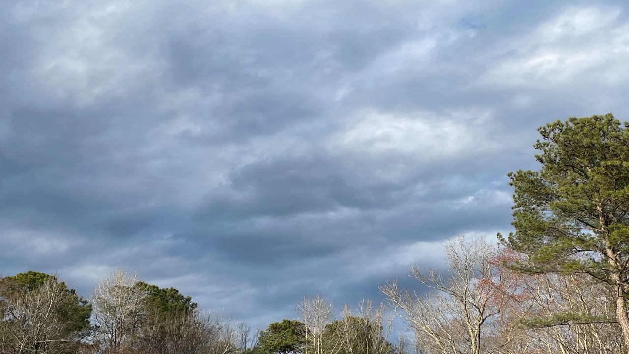
We'll see a lot more cloud cover around today, but most of your Wednesday plans should stay dry.
A few brief isolated showers cannot be ruled out, but the chance for measurable rain looks to be less than 20%.
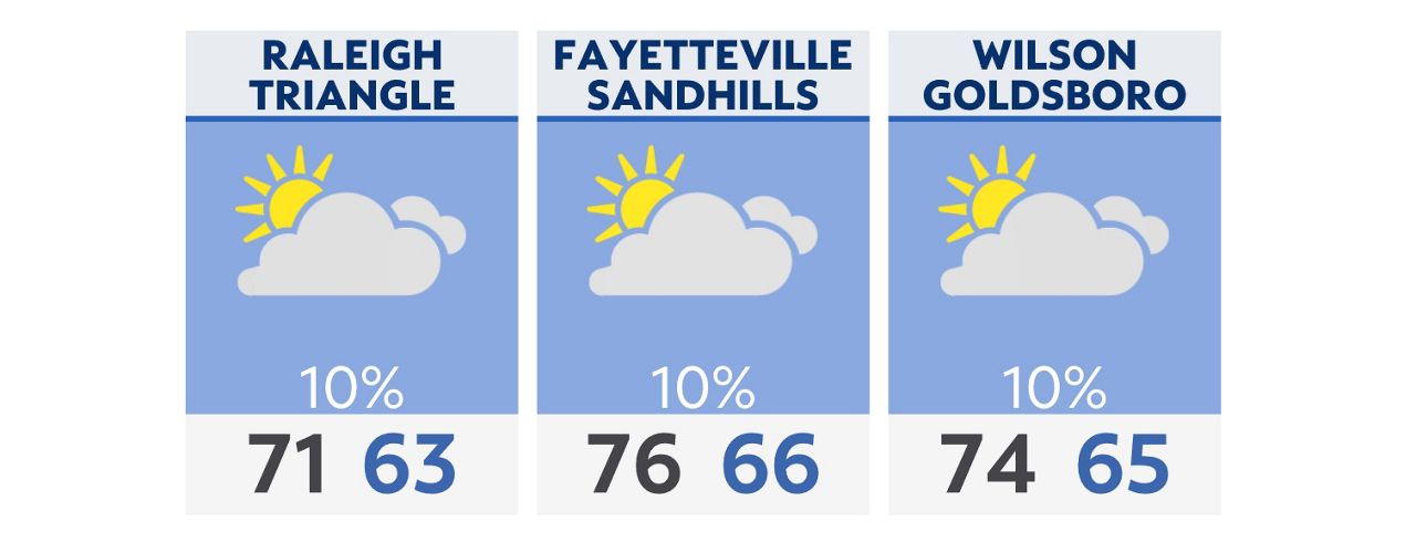
Highs will range from the 60s north of Raleigh and Durham to the mid and upper 70s near the South Carolina border.
We'll keep an eye on radar close to sunset this evening when a few isolated storms in South Carolina track toward North Carolina. There's a chance a couple of those could make it to an area between Charlotte and Fayetteville before coming to an end.
Later into the night, patchy drizzle is expected to develop in central North Carolina that could linger into the early morning commute Thursday.
Any drizzle will not last long into the day tomorrow though. Sunshine will break through the clouds into the afternoon. Along with a southerly wind, that will start a warming trend that will eventually lead to the warmest weather so far this year by Friday and the weekend.
There's a good chance that we'll set a new record high in the Triangle on Friday.
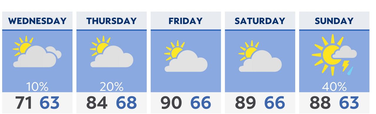
Our next significant chance for rain will not come until Sunday night into early next week.
Check radar and the latest 7-day forecast | Share your weather photos