


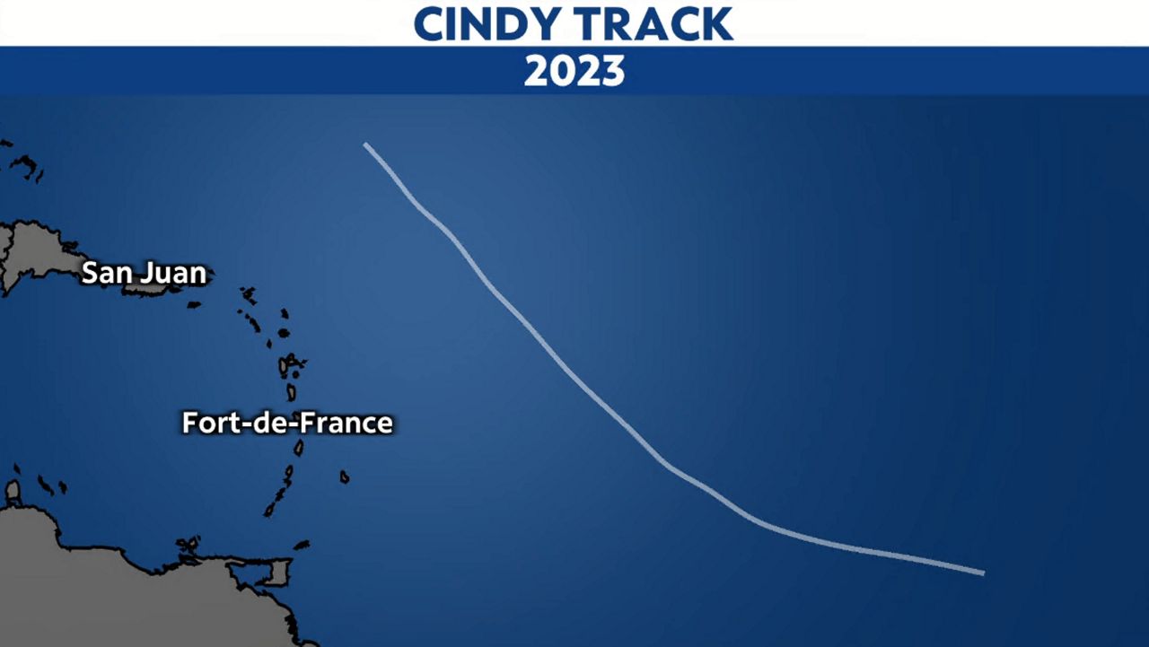
Cindy formed in the Central Atlantic on June 22, becoming our third named storm of the season.
Cindy maintained its status as a tropical storm for three days, but gradually weakened thereafter as it combatted increasing wind shear.
It finally became a remnant low late on June 25, with maximum sustained wind speeds of 40 mph.
It tracked close to the Lesser Antilles but stayed out at sea during its entirety. Its estimated top winds were 60 mph.
For a look at the 2023 Atlantic season so far, click here.
Our team of meteorologists dives deep into the science of weather and breaks down timely weather data and information. To view more weather and climate stories, check out our weather blogs section.