ORLANDO, Fla. — After a very warm and dry weekend, our pattern shifts slightly this week, although not much.
- Monday's highs at 84 degrees
- CURRENT CONDITIONS: Temperatures, heat indexes, trends
- SEE BELOW: See our 7-day forecast ▼
A weak front stalls out nearby and allows us to introduce slight shower chances, but as was the case today, showers pushing toward the coast fell apart fairly quickly. As moisture continues streaming in on an onshore flow tonight, patchy areas of fog are expected inland.
High pressure anchored over the Gulf of Mexico will keep our pattern pretty locked this week and will cause a stalled front to wash out to our north, yet bring in enough moisture for spotty shower Tuesday and Wednesday.
- View LIVE Interactive StormTracker 13 Radar Map
- View our LIVE Sky 13 Weather Cameras
- Sign up for Severe Weather Alerts
Most of us will remain rain free and heat up quickly under a partly to mostly sunny sky. Afternoon temps each day this week will be running five to 10 degrees above average for this time in March as we officially welcome spring Thursday night.
We’ll climb into the mid to upper 80s from Tuesday into the first part of our weekend and may near record temps in places like Leesburg. There are some signs a front could actually make it into Central Florida by Sunday brining up rain coverage to 20-percent, but no significant cold fronts means we will keep temperatures well above average for quite some time.
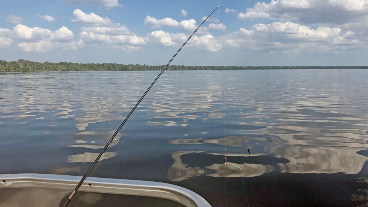
Beach and Boating Conditions
Surfers grab a board and be prepped to hit the water early Tuesday. Fair conditions are expected with wave heights of two to three, occasionally four feet. We’ll have a lingering east-southeast swell in the water, and the rip current threat remains moderate.
Sea surface temps along the east coast range from the upper 60s along the Flagler and Volusia County coast to the lower 70s along Brevard’s coastline.


