ORLANDO, FLa. - Here we go again! After some brief cool snaps this winter season, or should we say cool season, in Central Florida, we are back to temperatures that will be closer to record warmth rather than our seasonal averages.
- Warmer weather returns to Central Florida
- What is causing the unseasonable warm weather?
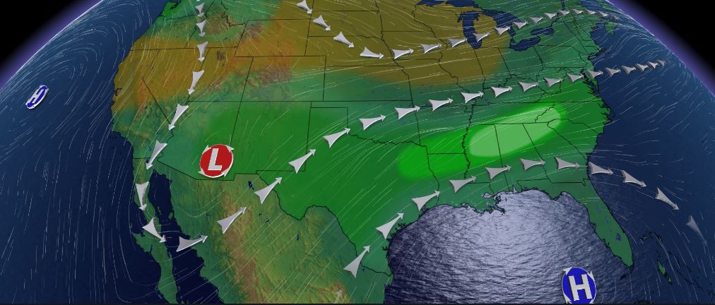
- Strong high pressue systems over the Gulf of Mexico
So what has been causing these unusual warm spells so often this winter?
It is largely due to strong high pressure systems that have been setting up over the Gulf of Mexico and Central Florida.
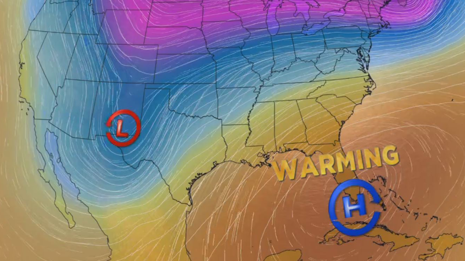
We are seeing another strong ridge of high pressure build over Florida this week. High pressure results in air that sinks and that air warms as it compresses to the surface. High pressure systems lock in the warmth and humidity while keeping the storm track that would steer frontal boundaries in our direction farther to the north.
This week you will start hearing a lot about heavy rains and ongoing flooding in places like Louisiana, Arkansas, Mississippi, Alabama, Tennessee and Georgia. The rain will be persistant in these places due to the storm track or the steering flow riding weather disturbances over this region that will keep the rain in place.
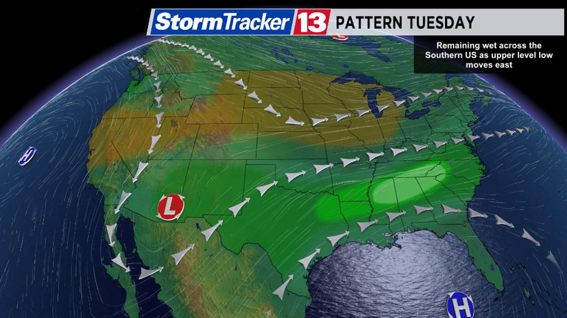
Meanwhile, a ridge of high pressure will move and build over Central Florida leading to temperatures that are 10 to nearly 15 degrees warmer than average.
It looks like this Wednesday will be the closest we will come to tying or even breaking a record or two in a couple of spots.
These high pressure systems have been fairly common during what is our cool season in Central Florida.
We had a warm spell to start the new year, and now, another warm spell for the first half of February.


