

ORLANDO, Fla. — A cold front moving south early Wednesday morning brought some big changes for the afternoon.
- Thursday's high temps at 68 degrees
- RELATED: Weather FAQ: What's the difference between a watch and a warning?
- Send us your weather photos and get the latest forecast via the Spectrum News 13 app
- CURRENT CONDITIONS: Temperatures, heat indexes, trends
- SEE BELOW: See our 7-day forecast ▼
Lingering showers and clouds started the day, but increasing northerly wind allowed cooler and drier air to move into Central Florida. This helped to clear out the clouds, but kept temperatures only in the upper 50s to low 60s.Thursday will remain mainly dry and cool, but another system already set to move in this weekend.
Mostly clear skies and cold temperatures are in the forecast through the overnight hours. Lows dip into the mid-30s in Marion County to mid and upper 40s along and either side of the I-4 corridor. They’ll stay in the mid-50s in Brevard County. Enough of a breeze sticks around to create a feels like temperature about 3 to 5 degrees colder than the actual air temperature.
- View LIVE Interactive StormTracker 13 Radar Map
- View our LIVE Sky 13 Weather Cameras
- Sign up for Severe Weather Alerts
We have a mix of sun and clouds in the forecast Thursday and Friday as an onshore flow brings a slight shower chance near the coast. Highs remain in the mid to upper 60s tomorrow, then into the low 70s Friday.
The weekend forecast hinges on an area of low pressure developing in the Gulf of Mexico, but it looks like we may have a washout on our hands. Rain and rumble coverage bumps up to 70-percent Saturday afternoon and 80-percent Sunday.
We may even see a few strong to severe storms over the weekend. Highs remain in the low to mid-70s both days.
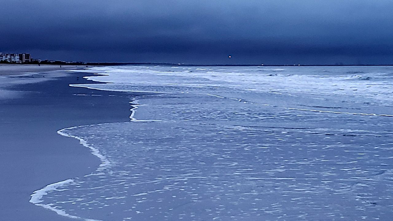
Beach and Surf Conditions
Rough ocean conditions are forecast to stick around into the weekend and even early next week thanks to gusty winds. Our rip current threat will fluctuate between moderate and high with large, crashing waves near shore.
Overall surfing looks poor with a northeast to east-northeast windswell and wave heights of four to six feet. Sea surface temperatures are currently in the upper 60s to lower 70s.

We want your pictures!
Show us what the weather looks like in your neighborhood. Your photo could end up on Spectrum News 13.
- Get the Spectrum News 13 app for iOS or Android
- Tap "Submit Content" at the bottom of the app menu
- Remember to include your name and location