ORLANDO, Fla. — An onshore flow brought with it a few scattered showers and downpours Friday, especially from metro Orlando southward.
- Highs to remain on either side of 90
- CURRENT CONDITIONS: Temperatures, heat indexes, trends
- TRACKING THE TROPICS: Formation potentials, Atlantic and Gulf satellite loops, typical storm tracks per month
- SEE BELOW: See our 7-day forecast ▼
We’ve been watching a disturbance aloft cross southern Florida, giving us a steady onshore flow and bringing with it scattered rain and rumbles.
This low is now out over the Gulf as high pressure stretches down the peninsula from the mid-Atlantic region this weekend. Isolated coastal showers in the overnight hours are forecast to begin moving inland both Saturday and Sunday, so rain coverage bumps up to 50-percent after noon.
Locally heavy downpours and lightning are expected, but no severe weather is anticipated. An area of low pressure near Bermuda slides south and west next week, then eventually opens up and moves away.
- View LIVE Interactive StormTracker 13 Radar Map
- View our LIVE Sky 13 Weather Cameras
- Sign up for Severe Weather Alerts
Onshore flow around this disturbance provides us a 40 to 50-percent coverage of rain Monday and Tuesday, but drier air may slide over us by mid-week. Highs won’t change in the next seven days as they hover either side of 90.
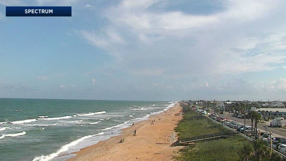
We’ll kick off our Saturday with fair conditions for area surfers thanks to an increasing northeast to east-northeast swell and wave heights around three to four feet. As the day progresses, the waves mush up and the surf becomes poor.
Keep the board handy though as we actually have fair to good surfing Sunday and Monday. This is courtesy of an area of low pressure drifting near Bermuda. Long period swells will provide a moderate rip risk all weekend.
Tropical Update
In the tropics, low pressure east of the Lesser Antilles has found a pocket of favorable tropical conditions and may be able to develop tropical characteristics soon. If it were to develop, it would become Kirk, but will struggle as it moves into high wind shear.
Another area highlighted in the central Atlantic has been appearing in our weather models for several days now and will gain subtropical or tropical characteristics this weekend.
We also have a non-tropical low producing wind and rain west of Bermuda, but strong wind and dry air aloft will keep this in-check. We're also watching a low just off the coast of Africa.
Hurricane season continues through Nov. 30.

We want your pictures!
Show us what the weather looks like in your neighborhood. Your photo could end up on Spectrum News 13.
- Get the Spectrum News 13 app for iOS or Android
- Tap "Submit Content" at the bottom of the app menu
- Remember to include your name and location


