


CENTRAL FLORIDA -- Here's your Central Florida area weather forecast for late Tuesday into Wednesday morning, along with a look at conditions through week's end.
- Afternoon storms to continue
- Will stay hot and humid
- Moderate rip-current risk
Alberto was an unwelcome guest over the holiday weekend, although we were able to pull in big pockets of dry air and keep rain in a more hit-and-miss fashion. Some storms the past couple days provided locally heavy downpours and rumbles, but none of them became severe.
Dry air is quickly being replaced by another tropical plume of moisture, so our daily afternoon and evening shower and storm chances will stay elevated through Friday.
- View LIVE Interactive StormTracker 13 Radar Map
- View our LIVE Sky 13 Weather Cameras
- Sign up for Severe Weather Alerts
Our focus for development starting Wednesday will be along the west coast sea breeze as it rolls inland. We’ll heat well into the 80s with dew points in the 70s, so instability will be in place to produce a few strong storms.
Heavy rain, frequent lightning and winds exceeding 40 mph will be the biggest threats. Activity will quickly wind down after sunset with the loss of daytime heating.
As we look into the weekend, we’ll lower rain chances to around 40 percent, and keep high temps close to seasonable levels in the upper 80s to lower 90s.

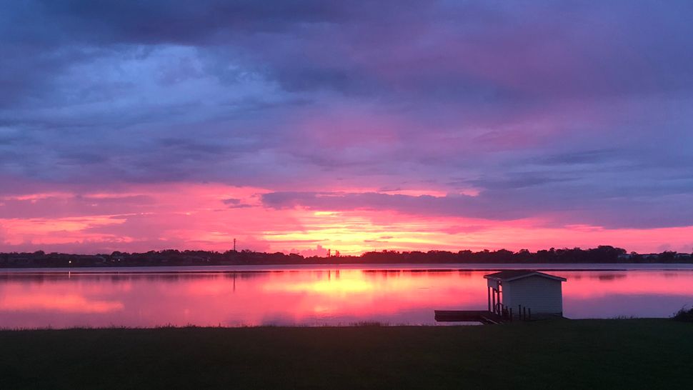
We want your pictures!
Show us what the weather looks like in your neighborhood. Your photo could end up on Spectrum News 13.
- Get the Spectrum News 13 app for iOS or Android
- Tap "Submit Content" at the bottom of the app menu
- Remember to include your name and location