


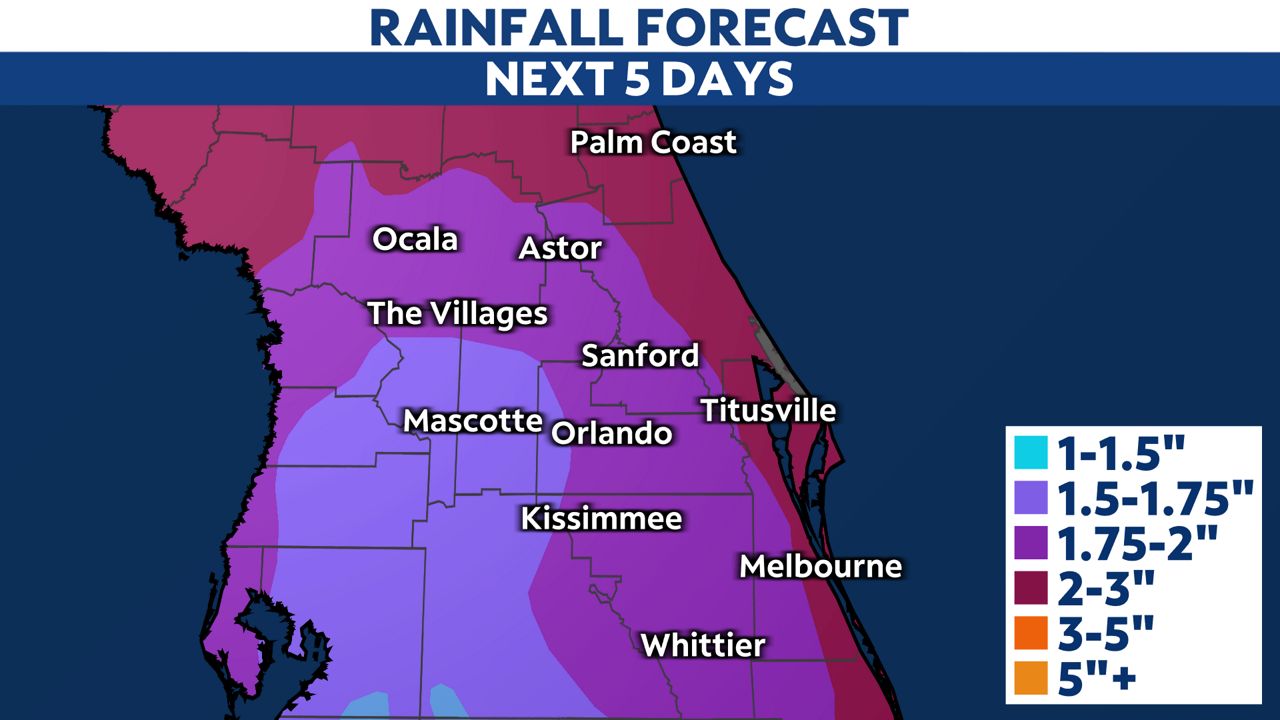
A storm system in the Gulf of Mexico will continue to bring significant weather to Central Florida through early Sunday morning. You can check the radar here.
The following alerts are in effect for our area:
- Coastal Flood Warning: All of the east coast through Saturday afternoon
- Flood Watch: Marion and Flager County Saturday evening through Sunday morning
- Gale Warning: Near and offshore the Atlantic waters through Sunday
- High Surf Advisory: All of the east coast through Sunday
- High Rip Current Risk: All of the east coast through Sunday
The chance for heavy rain and strong storms will continue through early Sunday morning. Some of the rain could lead to localized flooding and gusty winds. There is the possibility of a few brief tornadoes.
The risk for severe storms will be the greatest Saturday night through the early morning hours of Sunday. The Storm Prediction Center has expanded the threat for severe weather, where most of the Florida peninsula is under a slight risk (level 2 of 5).
A Tornado Watch could be issued overnight.
)
Be sure to have multiple ways to get severe weather alerts in case you're sleeping on Saturday night.
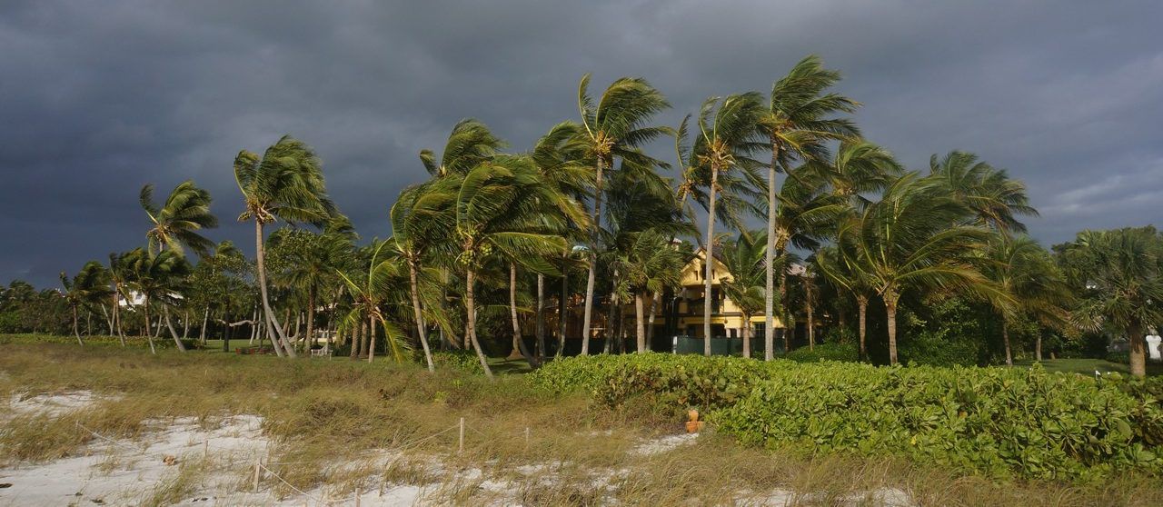
Coastal conditions will stay dangerous through Sunday. There could be some beach erosion and coastal flooding, especially at high tide for coastal Flagler, Volusia and Brevard counties.
The storm will depart the area Sunday afternoon and allow conditions to improve as we head into early next workweek.
It will stay windy through Sunday night. Cooler and drier air will move in with the sun returning on Monday afternoon.
Our team of meteorologists dives deep into the science of weather and breaks down timely weather data and information. To view more weather and climate stories, check out our weather blogs section.