We have had a stretch of active hurricane seasons in the Atlantic basin.
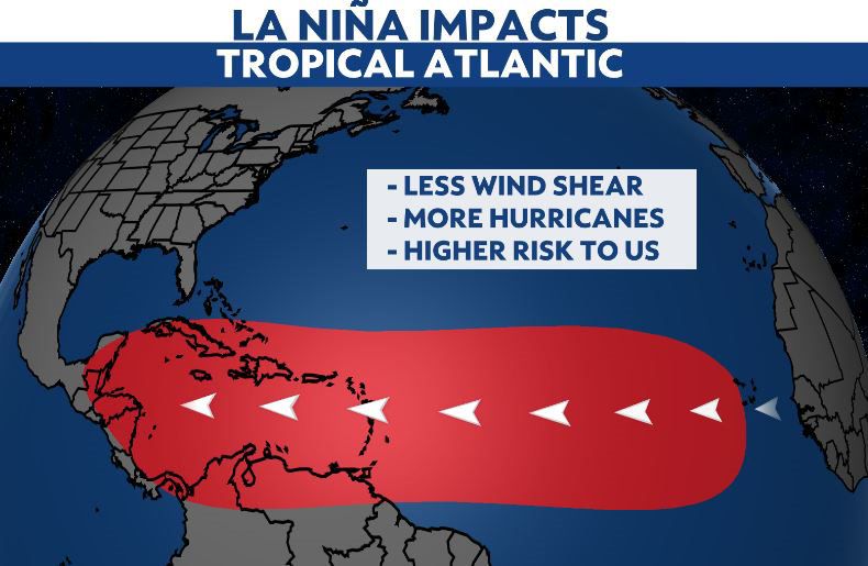
This has been in part because of La Niña, which, when present, can lead to more favorable environmental conditions for tropical storms and hurricanes to develop.
This could change during the upcoming summer.
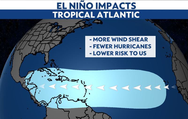
The latest ENSO outlook from the National Oceanic Atmospheric Administration (NOAA) is suggesting that an El Niño could develop.
So why do more tropical cyclones develop when a La Niña is present?
When there is a La Niña, the upper-level winds are lighter.
The lighter winds higher in the atmosphere allow for shower and thunderstorms to further develop into tropical systems.
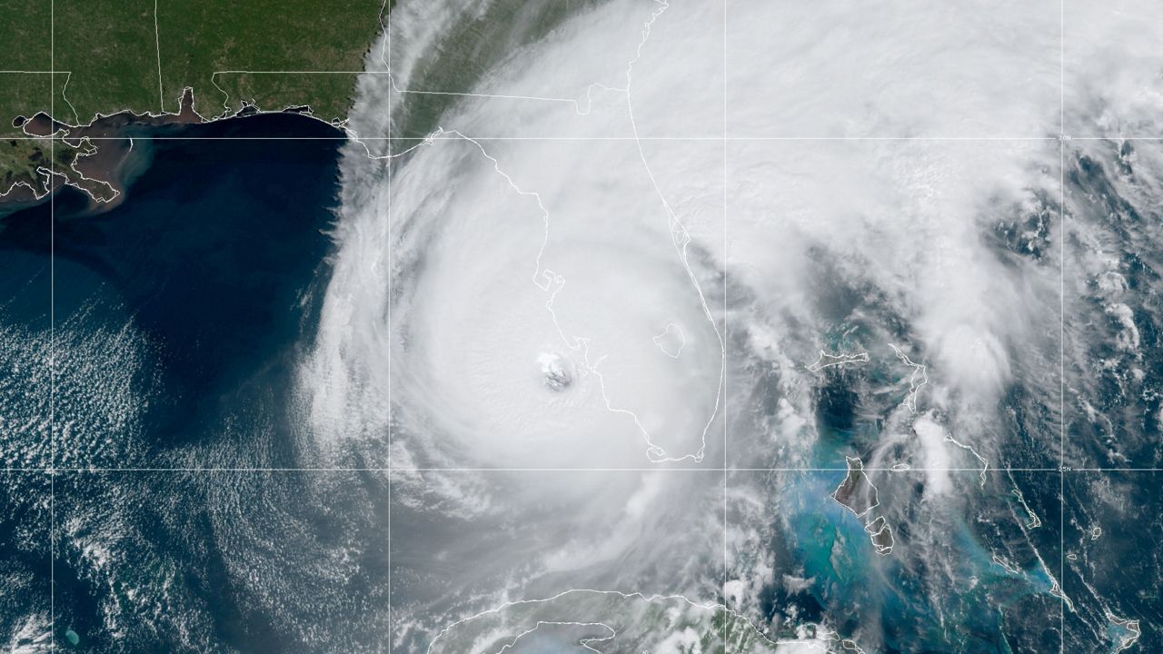
Tropical storms and hurricanes become vertically stacked. This leads to the counterclockwise development of tropical cyclones in the Northern Hemisphere.
If the winds are strong, they will act to knock the storm system off balance, and prevent the potential storm from organizing.

This summer could see an El Niño develop, and if one does, it would be the first time since 2018 and 2019.
An El Niño would then lead to stronger winds throughout the atmosphere.
This would cause less favorable conditions for tropical development.
While this may lead to fewer named storms, it only takes one tropical storm or hurricane to make it a destructive season.
Hurricane seasonal outlooks will start coming out this spring.
We will see then if meteorologists and forecasters around the country take into the consideration the possibility of an El Niño developing.
The past several years have featured outlooks forecasting an above average season.
However, it only takes one storm for any region to have a bad hurricane season.
Just a reminder, hurricane season runs from June 1 to Nov. 30.

Our team of meteorologists dives deep into the science of weather and breaks down timely weather data and information. To view more weather and climate stories, check out our weather blogs section.


