


ORLANDO, Fla. — Another gorgeous day for Central Florida with plenty of sunshine and bearable humidity.
- Wednesday's highs at 86 degrees
- Get Central Florida's power outage maps here
- CURRENT CONDITIONS: Temperatures, heat indexes, trends
- SEE BELOW: See our 7-day forecast ▼
Temperatures were slightly higher, but still coming in below average in the mid to low 80s inland and around 80 degrees along the east coast.
Highs will be a little warmer Wednesday, but the quiet weather sticks around before a front moves in Thursday.
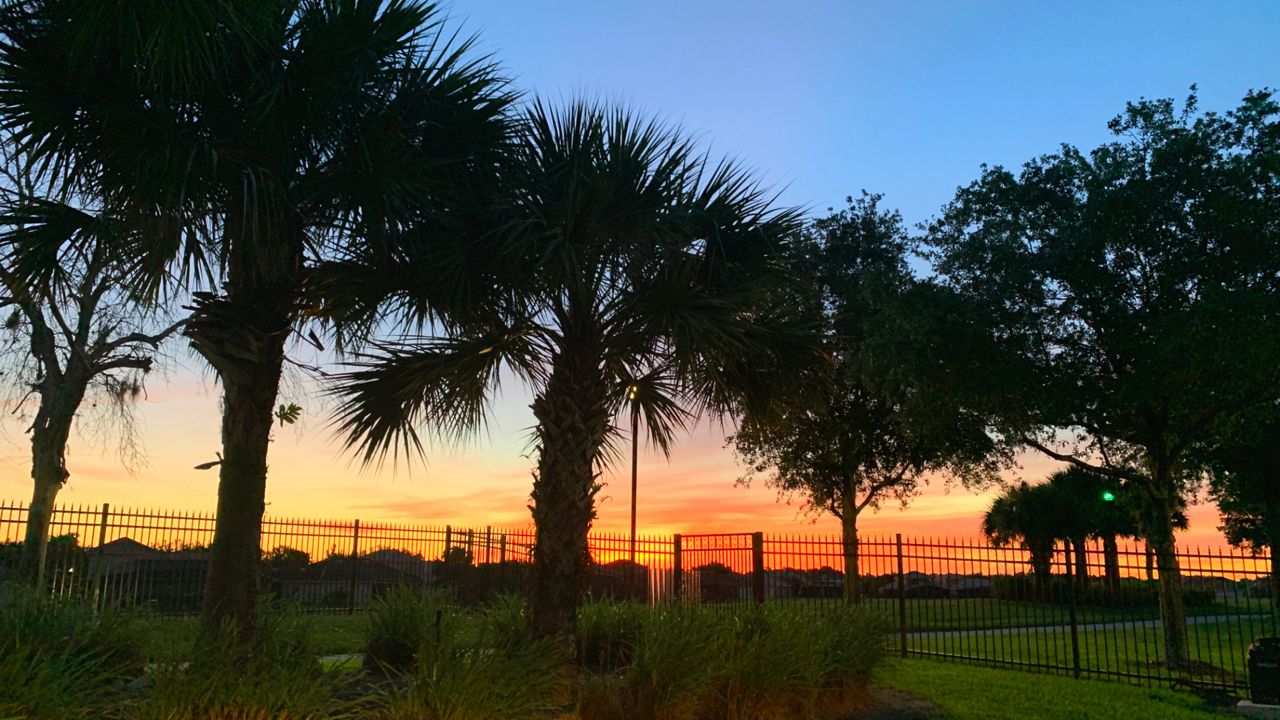
Mostly clear skies are in the forecast through the overnight hours. Temperatures may fall as low as Tuesday morning, but will still be comfortable around 60 degrees.
- View LIVE Interactive StormTracker 13 Radar Map
- View our LIVE Sky 13 Weather Cameras
- Sign up for Severe Weather Alerts
Wednesday will continue to hold plenty of sunshine and dry weather, although some moisture will start to move in during the afternoon and make it feel a bit more humid than the last two days. High temperatures will climb into the mid-80s.
An approaching front will slide closer Wednesday night and push showers and storms in our direction for Thursday. We do have a marginal risk that any storm that develops could become severe. The main threats will be gusty wind and frequent lightning.
Once the front moves south, we’ll dry out again by Friday and sunshine will return. There’s a decent stretch of dry weather that will continue this weekend and into much of next week as temperatures heat up.
Beach and Boating Conditions
A small east-southeast windswell and wave heights of ankle to knee-high will create poor surfing conditions for local surfers Wednesday. The rip current threat will increase from Tuesday to the moderate category.
Don’t forget sunscreen if you’re exercising on area beaches. The ultraviolet index is very high which means under 15 minutes for a sunburn.
