


ORLANDO, Fla. — The wet weather has continued this evening, with rounds of rain across the area.
- Cold front moving in will spark a line of storms
- Greatest area of storm threat is Brevard County
- RELATED: Weather FAQ: What's the difference between a watch and a warning?
- Send us your weather photos and get the latest forecast via the Spectrum News 13 app
- CURRENT CONDITIONS: Temperatures, heat indexes, trends
- SEE BELOW: See our 7-day forecast ▼
More rain and a few storms will push into the region overnight. Some storms could be strong, with gusty winds and heavy rainfall. The greatest threat for strong storms will be in Brevard County. Overnight lows will be in the low 60s.
Monday will feature more rain showers. The cold front will clear the area, but an upper-level low will spark more scattered showers across the area. It will be breezy again, with highs in the low 70s.
- View LIVE Interactive StormTracker 13 Radar Map
- View our LIVE Sky 13 Weather Cameras
- Sign up for Severe Weather Alerts
Better weather is still on track for Christmas Eve. Partly cloudy skies are expected during the daytime hours. A few isolated coastal showers will be possible, but the majority of the area will stay dry. Highs for Christmas Eve will be in the low 70s.
Christmas Day still looks great for Central Florida. We’ll wake up to mostly clear skies and morning temperatures in the low 60s. Partly cloudy skies will develop during the day, with dry conditions anticipated. Highs for Christmas Day will be in the mid to upper 70s.
Quiet conditions continue on Thursday, but low rain chances will return for Friday and next weekend. Early indications are the majority of the area will likely stay dry. Highs to close the week will be in the upper 70s.
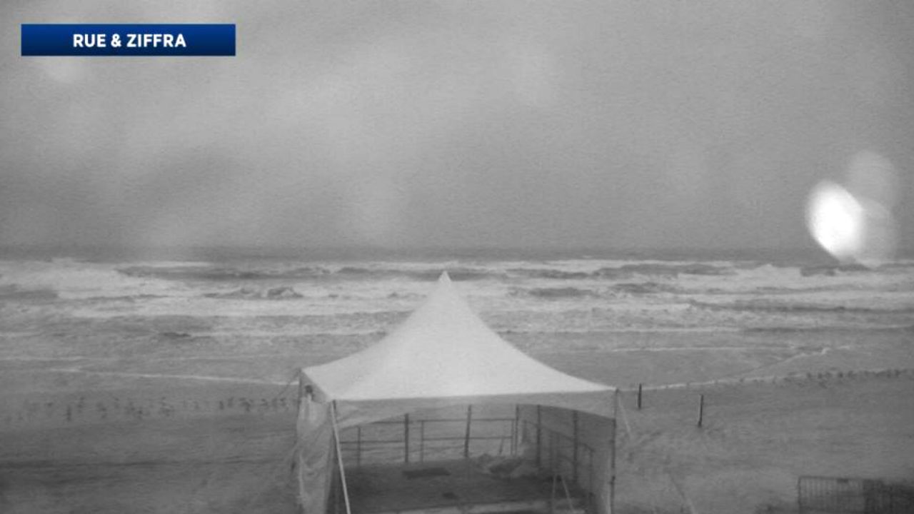
Beach and Surf Conditions
A small craft advisory marches on for Monday, with strong westerly winds and seas at 6 to 8 feet. Surfers will have fair to good conditions, with a building east-southeasterly swell. The rip current threat again remains high for Monday, and swimming in the Atlantic is strongly discouraged.

We want your pictures!
Show us what the weather looks like in your neighborhood. Your photo could end up on Spectrum News 13.
- Get the Spectrum News 13 app for iOS or Android
- Tap "Submit Content" at the bottom of the app menu
- Remember to include your name and location