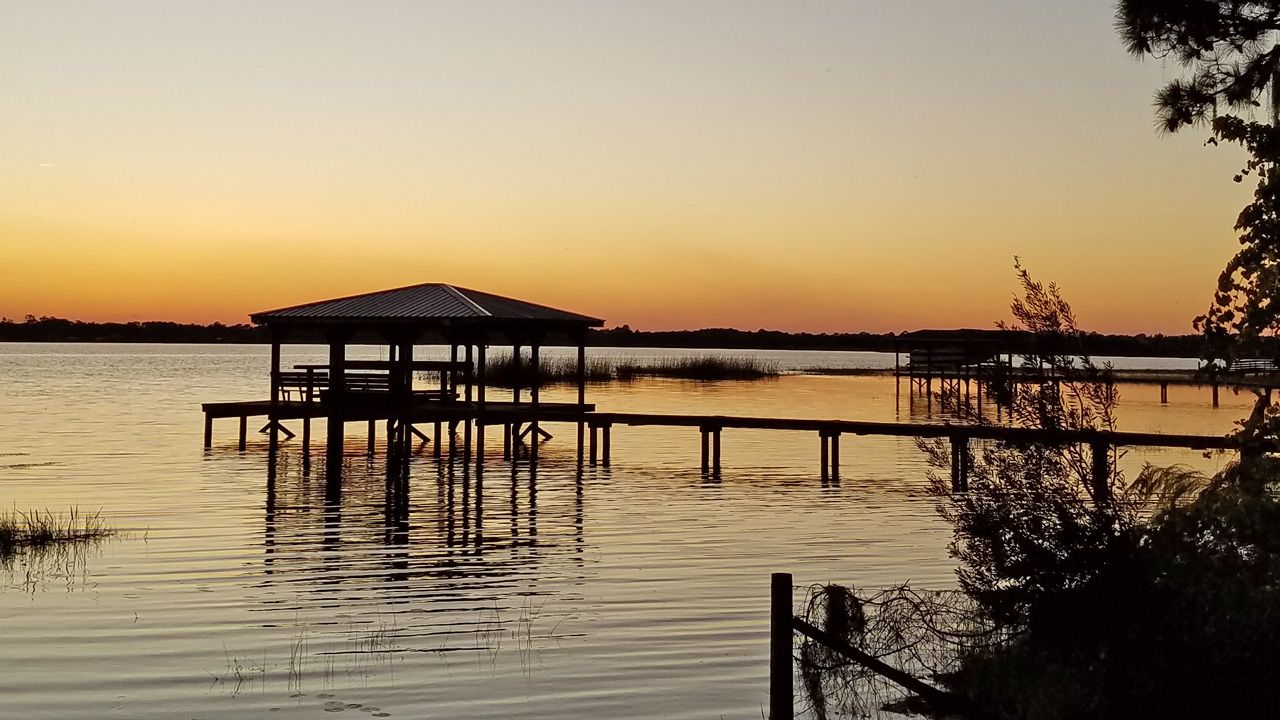
ORLANDO, Fla. — It was another gorgeous day for Central Florida with plenty of sunshine Tuesday and temperatures around 70 degrees.
- RELATED: Weather FAQ: Why Are Rip Currents Dangerous?
- Send us your weather photos and get the latest forecast via the Spectrum News 13 app
- CURRENT CONDITIONS: Temperatures, heat indexes, trends
- SEE BELOW: See our 7-day forecast ▼
- CALCULATE: How hot can your vehicle get? ▼
We’ve definitely reached dry season with an extended sunny stretch of weather sticking around this week.
You may want to grab an extra blanket for the bed the next couple nights as we experience widespread 40s for lows.
A gradual warm-up is in the forecast with highs into the mid-70s Wednesday, then back to average in the upper 70s for Thursday and Friday.
- View LIVE Interactive StormTracker 13 Radar Map
- View our LIVE Sky 13 Weather Cameras
- Sign up for Severe Weather Alerts
An upper level wrinkle in the atmosphere to our north dug over the peninsula Tuesday, providing another round of very dry air aloft and plenty of sunshine area wide. Even with the sun, temperatures still came up shy of average topping the upper 60s to lower 70s. Under a clear sky overnight our lows dip into the upper 40s in most neighborhoods.
High pressure drifting over the region means more sunshine and highs warming into the mid-70s Wednesday and even upper 70s by Thursday and Friday.
Ahead of our next front, we climb back to around 80 with a slow increase in clouds Saturday. This front is on board to slide by us Saturday night into Sunday. We’ll go with a 20 to 30-percent shower chance before noon Sunday, then mostly sunny with a high in the upper 60s to lower 70s.
Beach and Surf Conditions
We’ll start our Wednesday with fair surfing conditions thanks to waves of two to three, occasionally four feet. A fading east-northeast swell and slightly lower wave heights into the afternoon means poor to fair conditions. A long period swell will continue to provide dangerous rip currents with a high threat in place the next couple days.
Tropical Update
In the tropics, our eighteenth named storm of the season formed Tuesday morning northeast of the Leeward Islands. Sebastien poses no threat to the U.S. or any land as it stays well to our east and over the Atlantic. This system is already expected to weaken by Thursday.
Hurricane season runs through November 30.

We want your pictures!
Show us what the weather looks like in your neighborhood. Your photo could end up on Spectrum News 13.
- Get the Spectrum News 13 app for iOS or Android
- Tap "Submit Content" at the bottom of the app menu
- Remember to include your name and location


