ORLANDO, Fla. — A weak area of high pressure remains stationary just off the coast of the southeastern U.S. Tuesday evening.
- Highs at 90 degrees for Tuesday
- RELATED: Weather FAQ: Why Are Rip Currents Dangerous?
- Send us your weather photos and get the latest forecast via the Spectrum News 13 app
- CURRENT CONDITIONS: Temperatures, heat indexes, trends
- SEE BELOW: See our 7-day forecast ▼
- CALCULATE: How hot can your vehicle get? ▼
The flow around it aided in the development of the east coast sea breeze, and an eventual interaction with the west coast sea and large lake breezes. We’ve been able to squeeze out an isolated shower.
A dry pocket of air in the atmosphere has kept any activity bare minimal, but enough moisture working in and a small disturbance in the atmosphere may produce an isolated shower north and west of I-4 overnight.
We will be watching an area of low pressure to our north slide off the Mid-Atlantic coast Wednesday afternoon along a front draped over the southern states. This boundary is forecast to drift south over us tomorrow night into early Thursday, increasing our moisture and instability.
- View LIVE Interactive StormTracker 13 Radar Map
- View our LIVE Sky 13 Weather Cameras
- Sign up for Severe Weather Alerts
Rain and rumble coverage bumps to 40 percent, with a mix of clouds and sun for all of us. A breezy west-southwest wind is set to heat us into the mid to upper 80s. We’ll lower shower coverage to 20 percent Thursday, but keep highs slightly above average in the mid to upper 80s.
Another disturbance rolling out of the Gulf of Mexico Friday is forecast to bring us a 30 percent rain coverage. More clouds around will also keep highs in the lower 80s. We’re keeping clouds around and occasional showers and storms over the weekend with highs in the low to mid-80s.
Tropical Update
Tropical Depression 15 is sitting just off the west coast of Africa. This system is pushing toward the Cabo Verde Islands, and is forecast to bring one to three inches of rain to the islands. As it slides west-northwest, conditions remain unfavorable for future growth.
A disturbance over the Yucatan Peninsula is set to slide into the Bay of Campeche, and could gain some tropical characteristics as it moves north across the Gulf of Mexico. It’ll eventually get picked up by a front sliding across the U.S., and will increase our weekend rain chances. No significant strengthening is expected with this system.
Hurricane season runs through November 30.
Beach and Surf Conditions
An easing east-northeast swell and wave heights of one to two, occasionally three feet will provide local surfers poor to fair conditions the next couple days. We still have a moderate rip current threat, so be sure to swim near an open lifeguard stand.
Sea surface temperatures are running between 80 and 82-degrees along our east coast, offering up some relief from the above average air temps we’ll have again Wednesday. Keep an eye on the sky for scattered showers and storms in the afternoon.

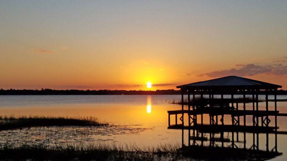
We want your pictures!
Show us what the weather looks like in your neighborhood. Your photo could end up on Spectrum News 13.
- Get the Spectrum News 13 app for iOS or Android
- Tap "Submit Content" at the bottom of the app menu
- Remember to include your name and location


