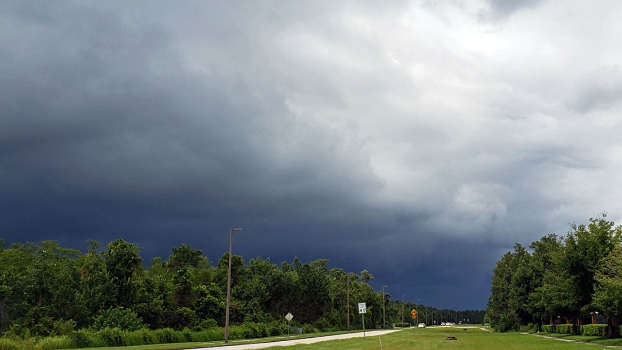
ORLANDO, Fla. — The showers and storms have slowly diminished across the area, but more activity is possible overnight.
- Highs reach upper 80s to low 90s
- Send us your weather photos and get the latest forecast via the Spectrum News 13 app
- CURRENT CONDITIONS: Temperatures, heat indexes, trends
- SEE BELOW: See our 7-day forecast ▼
- SEE BELOW: Tropical Update ▼
- CALCULATE: How hot can your vehicle get? ▼
The best chance for rain and storms will be in areas west of Orlando, and the majority of the coast should stay dry. Overnight lows will be in the low to mid 70s.
Friday will also feature of wet weather. Widespread showers and storms once again will develop and overspread the area during the midday and afternoon hours. A Flood Watch continues for Sumter Co., and minor flooding will remain a concern for Friday.
Highs to close the work week will be in the upper 80s.
- View LIVE Interactive StormTracker 13 Radar Map
- View our LIVE Sky 13 Weather Cameras
- Sign up for Severe Weather Alerts
Slightly drier air does arrive for the weekend. The deep tropical moisture begins to lift northward, but scattered showers and storms will still develop. Coverage will be lower than on Friday, with activity mainly in the afternoon and early evening. Highs for both Saturday and Sunday will be in the low 90s.
More rain and storms will develop to start the work week. More moisture will move into the area, resulting once again in elevated rain and storm chances. Highs both Monday and Tuesday will be in the low 90s.
No major changes are expected for the middle of next week. Expect morning sunshine and PM storms, with coverage slightly higher than typical. Temps for Wednesday and Thursday will hold in the low 90s.
Beach and Surf Conditions
Boaters should again watch out for showers and storms across the area, with a southwesterly wind. Surfers will should simply stay home, with very poor conditions. The rip current threat will be low again Friday, with Atlantic water temps in the low 80s.
Tropical Update
Despite moving into the peak of hurricane season, the tropical Atlantic remains remarkably quiet. There are no issues in the Gulf, the Caribbean or the open waters of the Atlantic.
No major activity is expected over the next 5 days.
The hurricane season does not peak until September 10, and runs through November 30.

We want your pictures!
Show us what the weather looks like in your neighborhood. Your photo could end up on Spectrum News 13.
- Get the Spectrum News 13 app for iOS or Android
- Tap "Submit Content" at the bottom of the app menu
- Remember to include your name and location


