


ORLANDO, Fla. — Strong storms rolled through Thursday as the summer weather pattern continues.
- Thursday storms will end early
- Send us your weather photos and get the latest forecast via the Spectrum News 13 app
- CURRENT CONDITIONS: Temperatures, heat indexes, trends
- SEE BELOW: See our 7-day forecast ▼
- CALCULATE: How hot can your vehicle get? ▼
Temperatures warmed back into the 90s on Thursday with plenty of sunshine to start the day.
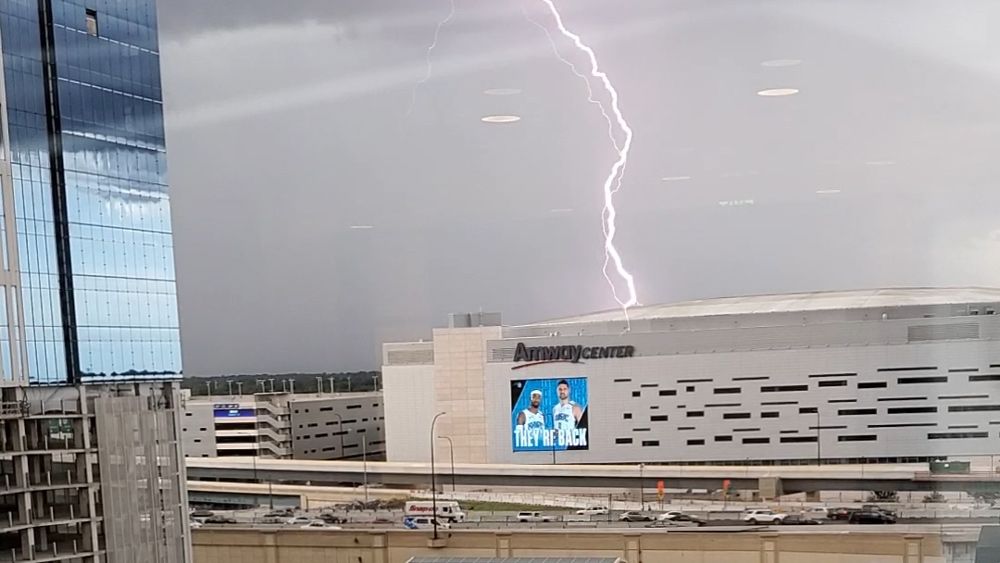
Several strong storms developed throughout the afternoon that held gusty wind and small hail.
The activity will come to an end early, then quiet heading into Friday. The weather pattern we've seen all week is expected to stick around as we head into the weekend.
- View LIVE Interactive StormTracker 13 Radar Map
- View our LIVE Sky 13 Weather Cameras
- Sign up for Severe Weather Alerts
Partly cloudy skies are in the forecast through the overnight hours. Temperatures will be warm and muggy, falling into the mid-70s.
After a quiet Friday morning, expect scattered showers and storms to develop again for the afternoon as the east coast sea breeze moves inland.
We'll see a mix of sun and clouds with temperatures back in the mid to low 90s.
High humidity sticking around will make it feel more like 100 degrees at times. This will be the case heading into the weekend.
Beach and Surf Conditions
Ocean conditions look favorable with only a light chop and a low rip current threat.
Watch for developing storms and make sure to bring the sunscreen and avoid a burn!
Tropical Update
No new development is expected over the next five days.
Atlantic hurricane season runs through November 30.

We want your pictures!
Show us what the weather looks like in your neighborhood. Your photo could end up on Spectrum News 13.
- Get the Spectrum News 13 app for iOS or Android
- Tap "Submit Content" at the bottom of the app menu
- Remember to include your name and location