


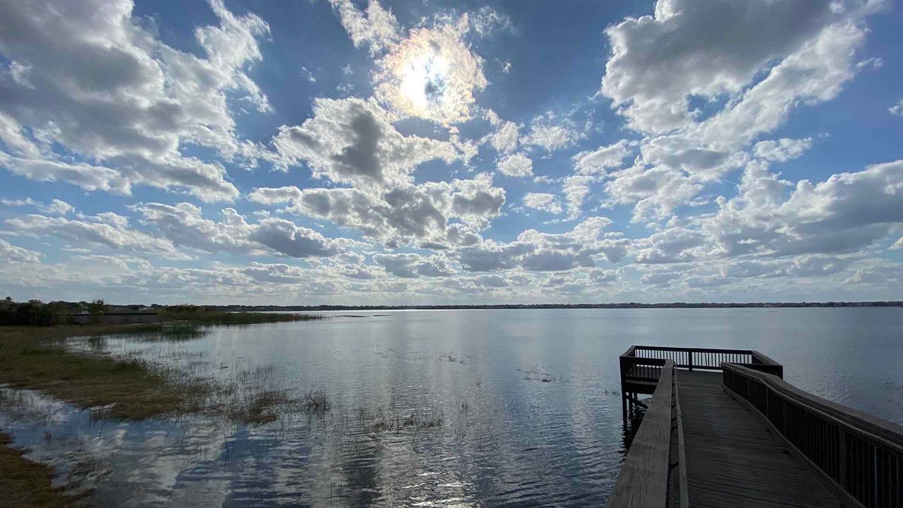
ORLANDO, Fla. — It was a gorgeous start to our work week with plenty of sunshine Monday afternoon and comfortable temperatures.
- Warming up again
- Temperatures in the upper 70s, low 80s
- Few isolated showers Tuesday
- CURRENT CONDITIONS: Temperatures, heat indexes, trends
- SEE BELOW: See our 7-day forecast ▼
Most reached the upper 70s to low 80s. While we were slightly above average, the low humidity helped to not make it too warm. Our warm-up continues Tuesday, but will be short-lived as another front is already approaching.
Partly cloudy skies are in the forecast through the overnight hours. Temperatures will not be as chilly, falling into the low 60s.
A storm system sliding into the Central Plains will draw deeper moisture into the southeastern states Tuesday into Wednesday. As the trough digs over the south, this storm will sweep a cold front in our direction.
- View LIVE Interactive StormTracker 13 Radar Map
- View our LIVE Sky 13 Weather Cameras
- Sign up for Severe Weather Alerts
Ahead of it, we’ll see an increase in clouds Tuesday and a few isolated showers and storms developing late. Highs warm into the upper 70s to lower 80s. Scattered showers and storms Tuesday night become more numerous Wednesday.
Colder, drier air sweeps in Thursday with a several day stretch well below where we should be to welcome March. Highs Wednesday will be in the low to mid-70s, but dip into the upper 50s to low 60s from Thursday through Sunday. Overnight lows bottom out in the 30s and 40s to round out the week.
BEACH & SURF ADVISORY FORECAST
Surfers grab a board and be ready to hit the water! Although conditions in the morning look poor to fair, we will trend fair in the afternoon with an east-northeast swell and wave heights of two to three, occasionally four feet. Wet suits may help because the Atlantic sea surface temps are currently in the mid to upper 60s. A high rip current threat sticks around so use extra caution when in the water.
