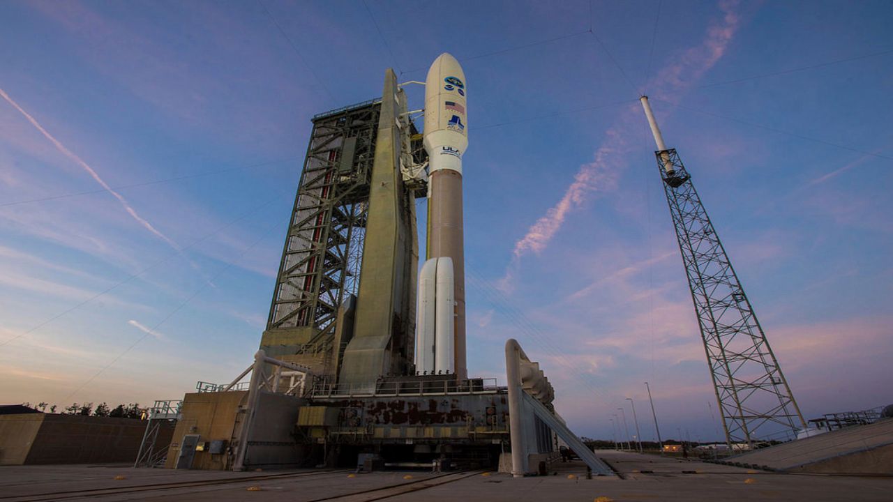
Meteorologists rely heavily on weather observation satellites to get the latest updates on tropical cyclones.
Not only do these satellites provide information on tropical cyclones, but they also provide information for many other weather events, including thunderstorms, clouds, fog and many more.
Let’s look back in time to see where weather observation satellites began and how we arrived to the advanced satellites of today.
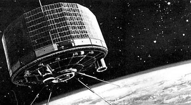
The idea for a weather observation satellite first popped up in 1946. After many years of research and trial and error, the first successful weather observation satellite was launched in April 1960.
This satellite was called TIROS-1, which is short for “television infrared observation satellite.”
TIROS-1 was equipped with two TV cameras and two video recorders. It could send back thousands of images and hours of footage of clouds and storm systems that moved across Earth.
TIROS-1 was in orbit for 78 days and provided a craving for more technologically advanced weather observation satellites.
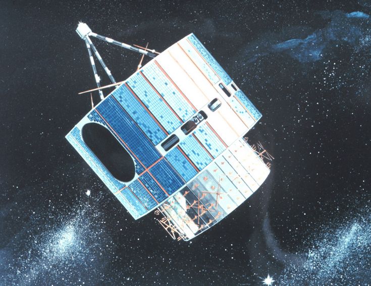
On Dec. 11, 1970, scientists reached a new milestone.
The National Oceanic and Atmospheric Administration helped launch a polar-orbiting satellite, appropriately named NOAA-1. This was a joint effort with NASA.
NOAA-1 provided cloud images in greater detail. It also helped make contributions to understanding Earth’s radiation budget and monitoring space weather.
Just five years later, GOES-1, short for “geostationary operation environmental satellite,” was launched on Oct. 16, 1975. This launch was revolutionary.
GOES-1 provided forecasters with images and data of weather events as they unfolded.
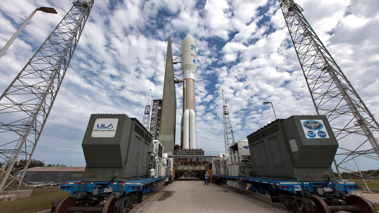
We have come a long way since the 60s and 70s. Scientists and engineers have launched over 80 satellites since the TIROS-1.
GOES-West, which was formally known as GOES-17, was launched on March 1, 2018 and has provided incredibly detailed views of weather events of the western United States, Alaska and Hawaii, and is projected to be in space for another 13 years.
It's able to detect low clouds, fog, fire, smoke, dust and atmospheric river events, which allows meteorologists to improve their forecasts.
However, more recently, scientists launched GOES-T, renamed GOES-18, on March 1, 2022. It replaced GOES-17 in Jan. 2023 and helps provide more incredible images and video of weather phenomena in greater detail.
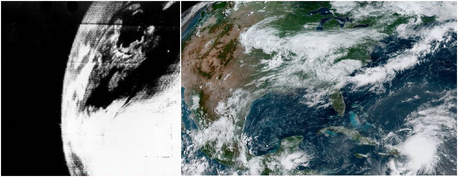
Weather observation satellites have already come a long way since they were first invented, and the future of these satellites is an exciting one.
Technology can only improve from here on out which will help provide better accuracy of weather forecasts.
Our team of meteorologists dives deep into the science of weather and breaks down timely weather data and information. To view more weather and climate stories, check out our weather blogs section.


