


ORLANDO, Fla. — Hot temperatures continued for the end of October. In fact, Orlando and Sanford broke their old records, reaching 91 degrees.
- Highs for Friday in the upper 70s to low 80s
- RELATED: Weather FAQ: Why Are Rip Currents Dangerous?
- Send us your weather photos and get the latest forecast via the Spectrum News 13 app
- CURRENT CONDITIONS: Temperatures, heat indexes, trends
- SEE BELOW: See our 7-day forecast ▼
- CALCULATE: How hot can your vehicle get? ▼
The high heat is coming to an end with a front moving through early Friday. This front will allow for a few spotty showers as we head toward daybreak, but rain will not be widespread. Overnight lows will be in the 60s and 70s.
Much cooler weather is on the way for Friday. Dry air will descend into the region, with a few showers possible in south Brevard early. Winds will also crank up during the day, with gusts over 25 mph possible. Highs for Friday will only be in the upper 70s to low 80s.
- View LIVE Interactive StormTracker 13 Radar Map
- View our LIVE Sky 13 Weather Cameras
- Sign up for Severe Weather Alerts
The nicer weather continues into the weekend. A few stray showers will be possible on Saturday, with highs in the low 80s. Dry conditions and low humidity will arrive on Sunday, with temps in the mid to upper 70s.
Warmer weather does return for next week. More moisture and humidity will push back into the area, resulting in warmth and scattered showers. Highs for Monday and Tuesday will be in the low to mid 80s. The unsettled weather will continue into the middle of next week, with highs holding in the mid-80s.
Tropical Update
In the tropics, Rebekah weakened throughout Thursday as it moved quickly east, even farther away from the United States.
There’s a cluster of thunderstorms also in the south central Atlantic that has a low chance of becoming tropical in the next few days, but no concern to Florida.
Hurricane season runs through November 30.
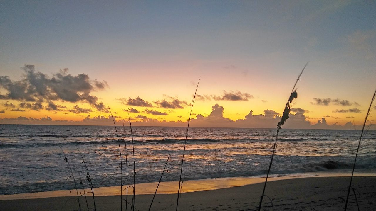
Beach and Surf Conditions
Beach and boating conditions to end the work week will be rough. A Small Craft Advisory has been issued and there is a high rip current threat.

We want your pictures!
Show us what the weather looks like in your neighborhood. Your photo could end up on Spectrum News 13.
- Get the Spectrum News 13 app for iOS or Android
- Tap "Submit Content" at the bottom of the app menu
- Remember to include your name and location