


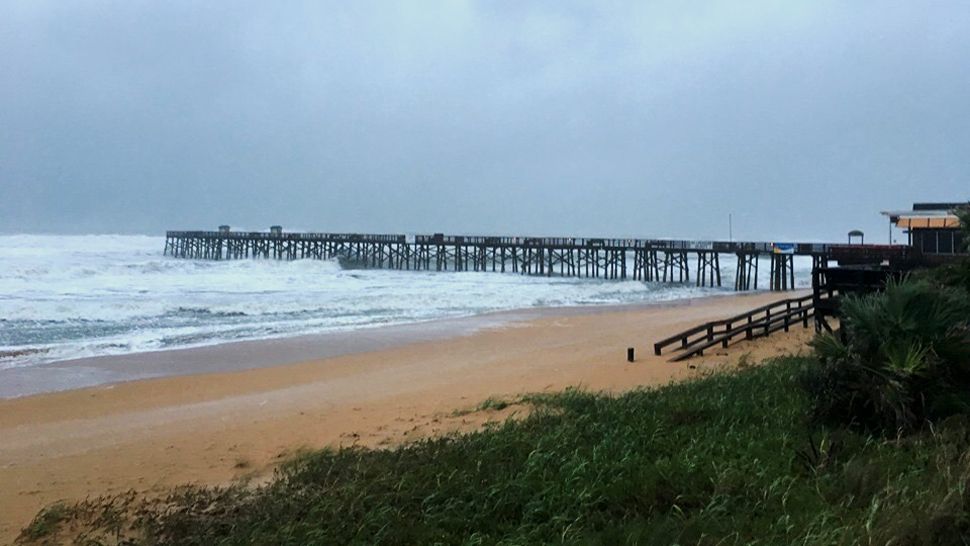
ORLANDO, Fla. — We had high wind and heavy for parts of our east coast Wednesday, with even a few bands moving inland.
- Get the latest updates about Dorian here
- Send us your weather photos and get the latest forecast via the Spectrum News 13 app
- CURRENT CONDITIONS: Temperatures, heat indexes, trends
- SEE BELOW: See our 7-day forecast ▼
- CALCULATE: How hot can your vehicle get? ▼
Dorian will lift northward overnight, with improving conditions beginning to move into Central Florida. Skies will clear overnight, with lows in the mid-70s.
Much drier and warmer weather is ahead for Thursday. Dorian will drag dry air into the region as it lift northward. This will result in dry weather and a warm afternoon, with highs in the low to mid 90s.
- View LIVE Interactive StormTracker 13 Radar Map
- View our LIVE Sky 13 Weather Cameras
- Sign up for Severe Weather Alerts
The warmth continues to close the work week as the dry air remains in place. Highs for Friday will be in the mid-90s with dry conditions.
The weekend will also feature dry and warm weather. More dry air moves into the area, resulting in minimal rain chances both Saturday and Sunday. Highs both days will push into the low to mid 90s.
Rain chances will return for next week. Some moisture will begin to return to the area, but just a few isolated showers are expected. Highs to start next week will be in the low to mid 90s. Better rain chances are expected for the middle of next week.
Beach and Surf Conditions
A Small Craft Advisory will be in effect for Thursday, with seas 4-6 feet and strong westerly winds. Surfers will have poor conditions, as the Dorian surf drops quickly.
The rip current threat remains highs for Thursday, and swimming is not advised in the Atlantic.
Tropical Update
In the tropics, we are focused on Hurricane Dorian.
There is also Fernand that hit the east coast of Mexico Wednesday afternoon as a tropical storm, but is weakening.
Tropical Storm Gabrielle is well out in the Atlantic and expected to stay over the water. No concerns for Florida at this time.
It is the peak of hurricane season, so several areas are being watched.

We want your pictures!
Show us what the weather looks like in your neighborhood. Your photo could end up on Spectrum News 13.
- Get the Spectrum News 13 app for iOS or Android
- Tap "Submit Content" at the bottom of the app menu
- Remember to include your name and location