

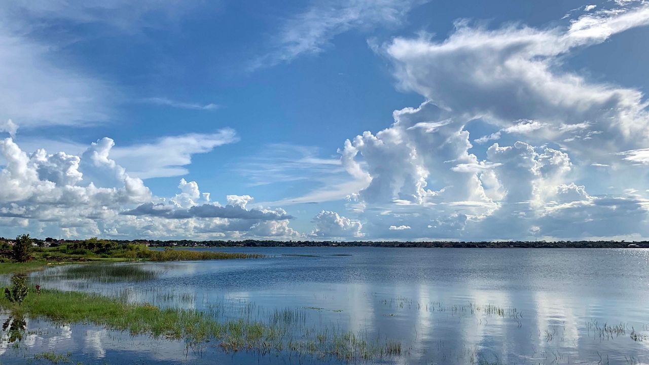
ORLANDO, Fla. — We had a mix of sun and clouds to end our work week as temperatures warmed quickly to around 90 degrees.
- Low pressure system drifting off South Florida
- It has a high probability of developing further
- Send us your weather photos and get the latest forecast via the Spectrum News 13 app
- CURRENT CONDITIONS: Temperatures, heat indexes, trends
- SEE BELOW: See our 7-day forecast ▼
- CALCULATE: How hot can your vehicle get? ▼
Extra moisture from low pressure to our south moved in and coverage of showers and storms was a little more widespread.
Moisture will continue to stream in this weekend, keeping higher rain chances around. Not a complete washout, but higher than the past few days.
Mostly cloudy skies are in the forecast through the overnight hours.
- View LIVE Interactive StormTracker 13 Radar Map
- View our LIVE Sky 13 Weather Cameras
- Sign up for Severe Weather Alerts
Most of the rain will end early, but a coastal shower will be possible heading into Saturday morning. Temperatures will fall into the mid-70s.
Easterly wind will increase heading into Saturday afternoon and start to push a few showers and storms toward the Gulf Coast. With abundant moisture, the chance is higher that you’ll see rain, but it will not be a complete washout.
A similar forecast is in store for Sunday and early next work week as plenty of moisture sticks around.
Beach and Surf Conditions
Watch for a few storms if heading to the beach or out on the boat. Winds will also be a little breezier, creating a higher chop on the water and elevating our rip current threat.
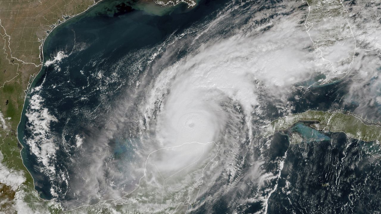
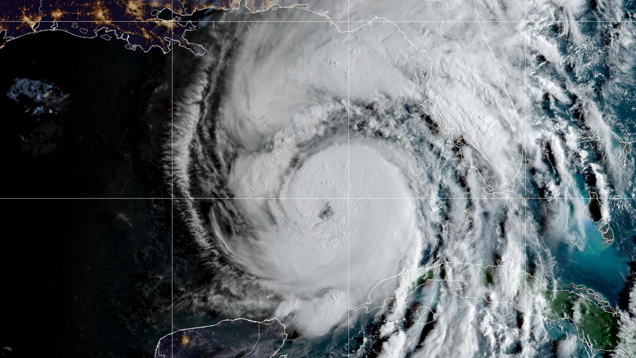
Tropical Update
No big changes with the tropical wave off the coast of south Florida. It remains a weak area of low pressure that is expected to be over land tonight, which will prevent strengthening. As it moves north-northeast over the water this weekend, a tropical depression is likely to form.
Regardless, minimal impacts will be felt in Central Florida. Only a slight afternoon breeze, mainly along the east coast, is expected, along with a higher chance for showers and storms.

Another area of low pressure is in the south central Atlantic and now also has a high potential to become tropical this weekend or early next week as it moves toward the Lesser Antilles.
Not a big concern at this time as models forecast move it into the Caribbean and weaken it. Something to continue to monitor, however.
Both of these are expected to be tropical depressions at first, but if they become stronger, the next names on the list are Dorian and Erin.
The peak of Atlantic hurricane season is September 10. The season ends November 30.

We want your pictures!
Show us what the weather looks like in your neighborhood. Your photo could end up on Spectrum News 13.
- Get the Spectrum News 13 app for iOS or Android
- Tap "Submit Content" at the bottom of the app menu
- Remember to include your name and location