

ORLANDO, Fla. — Some sun peeking through to start our Tuesday, along with southwesterly wind, allowed temperatures to climb quickly to around 90 degrees.
- Wednesday's highs at 87 degrees
- Send us your weather photos and get the latest forecast via the Spectrum News 13 app
- CURRENT CONDITIONS: Temperatures, heat indexes, trends
- SEE BELOW: See our 7-day forecast ▼
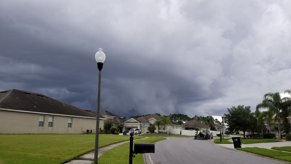
It didn’t take long, though, before clouds increased and the west coast sea breeze sparked showers and storms as it moved east. Heavy downpours and gusty wind accompanied this activity.
It will be much quieter overnight, then high rain chances back for Wednesday.
Skies will become partly cloudy as we head into Wednesday morning. Temperatures will be warm and muggy, dropping into the mid to low 70s.
- View LIVE Interactive StormTracker 13 Radar Map
- View our LIVE Sky 13 Weather Cameras
- Sign up for Severe Weather Alerts
Our Wednesday morning will start out quiet, but showers and storms will start building as we head toward lunch.
Scattered storms will continue through the afternoon as the west coast sea breeze moves east. Some of the storms could hold heavy rain and gusty wind. High temperatures will reach the upper 80s to low 90s.
Drier air starts to move in Thursday and backs rain chances down significantly for the end of our work week. With less rain comes higher temperatures. Expect the mid-90s heading into the weekend.
Beach and Surf Conditions
Ocean conditions will be favorable for any beach or boating trips, but watch out for developing storms.
Tropical Update
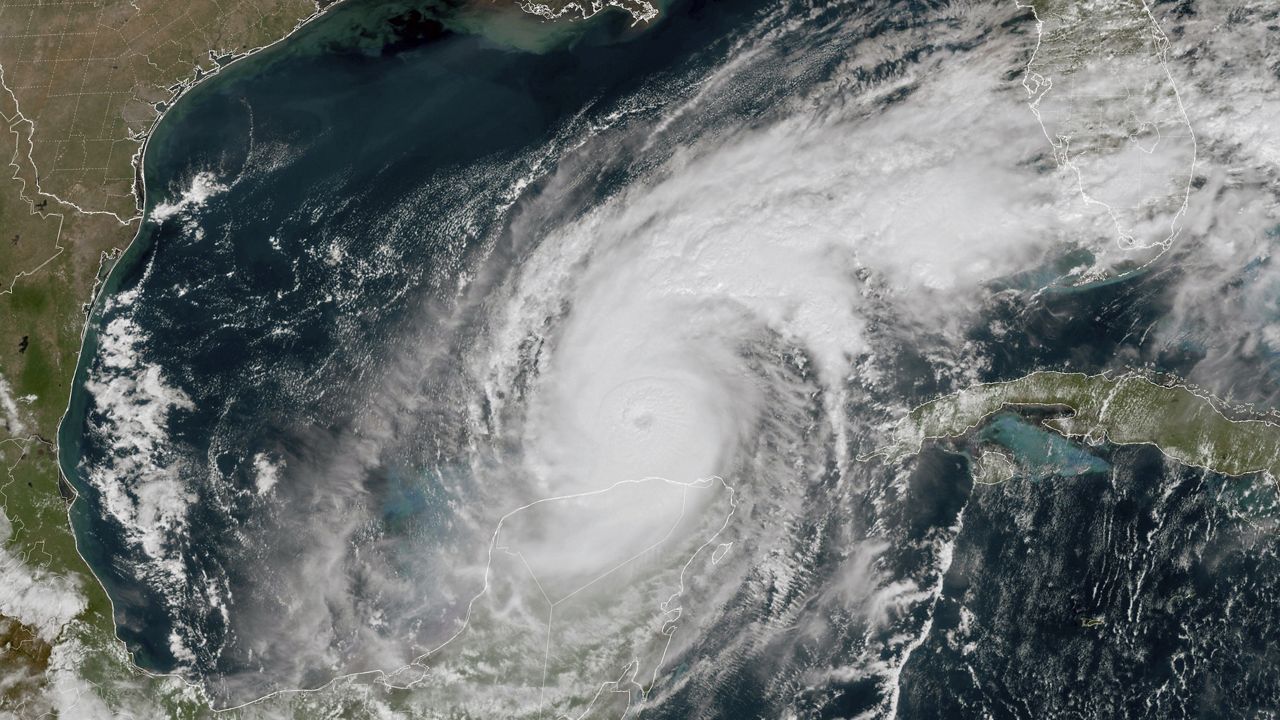
We still have no issues to talk about in the tropics. There are no developing systems in the Gulf, the Caribbean or the open waters of the Atlantic.
No major activity is expected the next five days.
Hurricane season runs through Nov. 30.

We want your pictures!
Show us what the weather looks like in your neighborhood. Your photo could end up on Spectrum News 13.
- Get the Spectrum News 13 app for iOS or Android
- Tap "Submit Content" at the bottom of the app menu
- Remember to include your name and location