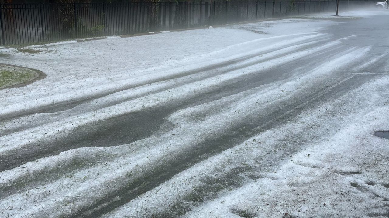
After an active week, storm chances continue for Thursday afternoon and evening.
Very cold air aloft will support the development of large hail with the strongest storms.
You can prepare for this hail event by bringing any plants indoors or items that may sustain damage on your patio. Moving your car under covering is essential, whether it is a garage or carport. If you don't have access to covering, you can drape a blanket or comforter over your car to prevent further damage.
Damaging winds are another threat with today's storms. Gusts may exceed 50 to 60 mph.
While we would rather be spared the severe weather, this is an opportunity for beneficial rain. Torrential downpours may accompany any cell, and with the timing being right after school and the evening commute, this may cause issues on the roads.
The active weather pattern of daily storm chances will continue for the rest of the week, and it will last into the weekend.
It is a day to be weather aware, tuning into Weather on the 1's and checking in often with the Spectrum News App. Make sure notifications are turned on.
Our team of meteorologists dives deep into the science of weather and breaks down timely weather data and information. To view more weather and climate stories, check out our weather blogs section.


