


ORLANDO, Fla. — This last day of February ended on a warm note, as high temperatures topped the upper 70s to around 80 in most central Florida neighborhoods.
- Above average highs Friday
- Warm, dry weekend ahead
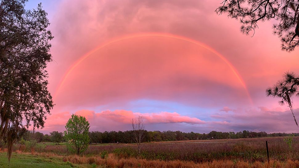
- Send us your weather photos via the Spectrum News 13 app
- CURRENT CONDITIONS: Temperatures, heat indexes, trends
- SEE BELOW: See our 7-day forecast ▼
A ridge of high pressure over the state is allowing very warm, muggy air to remain in place for the next few days. This same moisture is expected to aid in the development of patchy fog.
We’ll also be watching a wrinkle in the atmosphere slide by just to our north, with a few clouds drifting into Central Florida during the overnight.
We welcome March with a mix of sun and cloud, and may see an isolated late afternoon shower north of Orlando. We’ll push highs back into the low 80s, a good five to seven degrees above average.
- View LIVE Interactive StormTracker 13 Radar Map
- View our LIVE Sky 13 Weather Cameras
- Sign up for Severe Weather Alerts
Not much change is forecast over the weekend with plenty of sun and highs into the low to mid-80s. A bigger change is on the horizon as the jet stream dips well into the south next week, and a cold front sweeps into our area.
We’ll see an increase in clouds Monday, with showers spreading in late in the day. An upper level low spins across the state into early Tuesday, so we’ll keep a threat for a few morning showers.
Highs on Monday are back into the upper 70s to low 80s, then drop sharply into the 60s for highs Tuesday and Wednesday. Lows by the middle of next week slip into the 40s.
Beach and Surf Forecast
Poor to fair surfing conditions are with us from Friday through the weekend, as an east-southeast swell and wave heights of one to two, occasionally three feet stick around. Our very warm forecast may draw many of you to the beach and into the water.
Ocean conditions will create a moderate rip risk, so if you’re swimming, do so near an open lifeguard stand.

We want your pictures!
Show us what the weather looks like in your neighborhood. Your photo could end up on Spectrum News 13.
- Get the Spectrum News 13 app for iOS or Android
- Tap "Submit Content" at the bottom of the app menu
- Remember to include your name and location