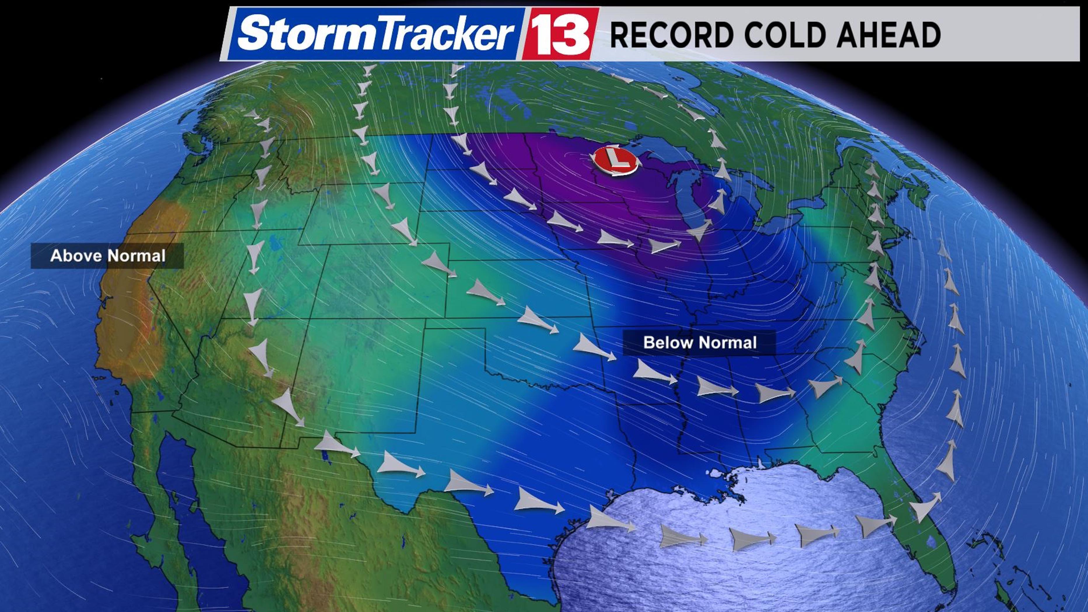
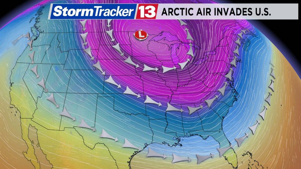
ORLANDO, Fla. — An arctic assault is ahead for the Midwest and Great Lakes region this week.
- Potentially life-threatening temps to hit Midwest, Great Lakes area
- In Florida, the coldest air will not make it that far south
- MORE: Spectrum News 13 Weather Experts Blog
Potentially life-threatening, record setting cold temperatures are set to plague these areas by the middle of this week.
“Feel Like” temperatures, or the Wind Chill factor, could be as much as 30 to 50 degrees below zero in places like Chicago, Milwaukee, and Minneapolis. The actual air temperatures will be 10 to 20 degrees below zero for afternoon highs with overnight temperatures 20 to 40 degrees below zero.
So what is responsible for this record-setting cold and these dangerous wind chill temperatures?
It is all thanks to a buckle in the jet stream, which is the upper-level wind pattern that steer weather systems from west to east across the U.S.

You may have heard this dip in the jet stream referred to as the polar vortex. The polar vortex is nothing new; however, it has become popular term in recent years when arctic outbreaks happen during the winter.
The polar vortex is simply a large area of low pressure and cold air that surrounds both of the Earth’s poles.
At times, including this week, the jet stream pattern will allow for a big push of arctic air to spill into the Northern U.S., thanks to the jet stream dipping farther south.
The polar vortex has been responsible for arctic air outbreaks in 2014, 1989, 1985, 1982, and in 1977 to name a few.
The polar vortex can also send arctic air into parts of Europe and Asia.
Fortunately in Florida, the coldest air will not make it this far south. Our temperatures will be cooler than average, but obviously nothing like they’ll be experiencing across the Northern tier of the country this week.


