


ORLANDO, Florida — It was a gorgeous end to our work week with drier air moving in, allowing for plenty of sunshine and lower humidity.
- Mostly clear skies through overnight hours
- Warm Saturday, but won't feel as sticky
- CURRENT CONDITIONS: Temperatures, heat indexes, trends
- TRACKING THE TROPICS: Formation potentials, Atlantic and Gulf satellite loops, typical storm tracks per month
- SEE BELOW: See our 7-day forecast ▼
Highs were still warm, in the upper 80s to around 90 degrees, but it didn't feel as sticky.
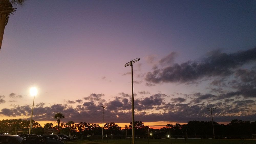
Mostly clear skies will continue through the overnight hours. Light wind out of the north will help to pull in some cooler air and drop our temperatures into the 60s. The last time Orlando dropped into the 60s was June 9.
- View LIVE Interactive StormTracker 13 Radar Map
- View our LIVE Sky 13 Weather Cameras
- Sign up for Severe Weather Alerts
Plenty of sunshine will stick around heading into Saturday afternoon as highs climb into the mid to upper 80s. It will be warm, but the lower humidity will make it feel much better than earlier in the week.
A little bit of moisture will move back in Sunday, and a few showers can't be ruled out. It will still be a pretty quiet end to our weekend before moisture and temperatures increase again next week.
It will be great weather to head to the beach, but watch for an elevated rip current risk and a slight chop on the water.
Tropical Update
In the tropics, Michael is now post-tropical and racing northeast over the Atlantic. We're still watching Leslie and Nadine in the eastern Atlantic, neither of which will impact the United States. There are no other areas of concern at this time.

We want your pictures!
Show us what the weather looks like in your neighborhood. Your photo could end up on Spectrum News 13.
- Get the Spectrum News 13 app for iOS or Android
- Tap "Submit Content" at the bottom of the app menu
- Remember to include your name and location