


ORLANDO, Fla. -- Showers and storms impacted parts of the area during the afternoon and evening hours, but the activity diminished toward late evening.
- Quiet conditions overnight
- Temps to fall into the 70s
- Drier air moving in to lower rain chances
- TRACK THE TROPICS: Formation potentials, satellite loops, typical storm tracks
- See our 7-day forecast ▼
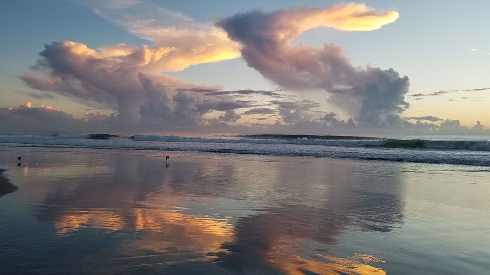
We'll see quiet conditions overnight, with warm lows in the mid-70s.
We'll open up the work week Monday with lower rain chances. Drier air will push into the area, resulting in lower coverage of showers and storms. With weak westerly flow, the activity will once again move eastbound toward the coast. Highs for Monday will be in the low 90s.
The slightly drier air remains in place for the midweek. This will keep scattered storms in the forecast, but some locations will likely stay dry. Highs for Tuesday and Wednesday will be in the low 90s.
It now looks like even more dry air will march in as Florence lifts northward. We’ll see widely scattered showers and storms Thursday and Friday, with highs in the low 90s.
Right now, next weekend looks warm and fairly dry. Just a few widely scattered storms are expected each day with temps holding in the low 90s.
- View LIVE Interactive StormTracker 13 Radar Map
- View our LIVE Sky 13 Weather Cameras
- Sign up for Severe Weather Alerts
Tropical Update
Florence was again upgraded to a hurricane Sunday morning in the open waters of the Atlantic. Florence is still on track to intensify rapidly, and will likely become a major hurricane on Monday.
Forecast models continue to indicate direct impacts likely to the Carolinas, but there is still uncertainty about the exact track. Interests from coastal Virginia to Georgia should pay close attention to Florence. The system will stay north of Central Florida.
Tropical Storm Helene continues to impact the Cabo Verde islands. Helene will likely become a hurricane later today and will eventually move northward out to sea.
Finally, Tropical Storm Isaac continues to slowly intensify east of the Lesser Antilles. Isaac will become a hurricane later tonight, and could impact parts of the Lesser Antilles as a hurricane later in the week.