


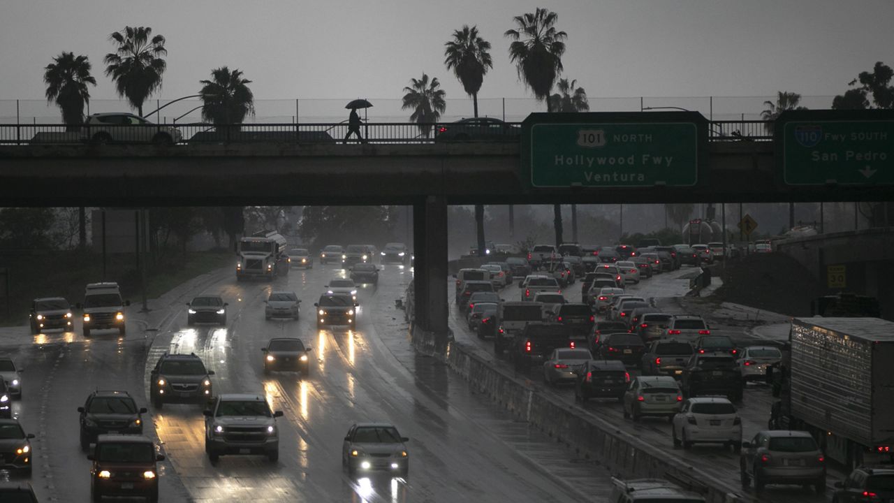
Atmospheric rivers can bring days of rain to California and the western U.S., leading to widespread flooding and even landslides.
Atmospheric rivers are becoming more common over recent years for the western U.S.

An atmospheric river is a large plume of moisture that is transported by tropical winds. These large channels of water can get over 300 miles wide and can stretch to over 1,000 miles long. They can occur all over the world at any time of the year but are more common from December through February.
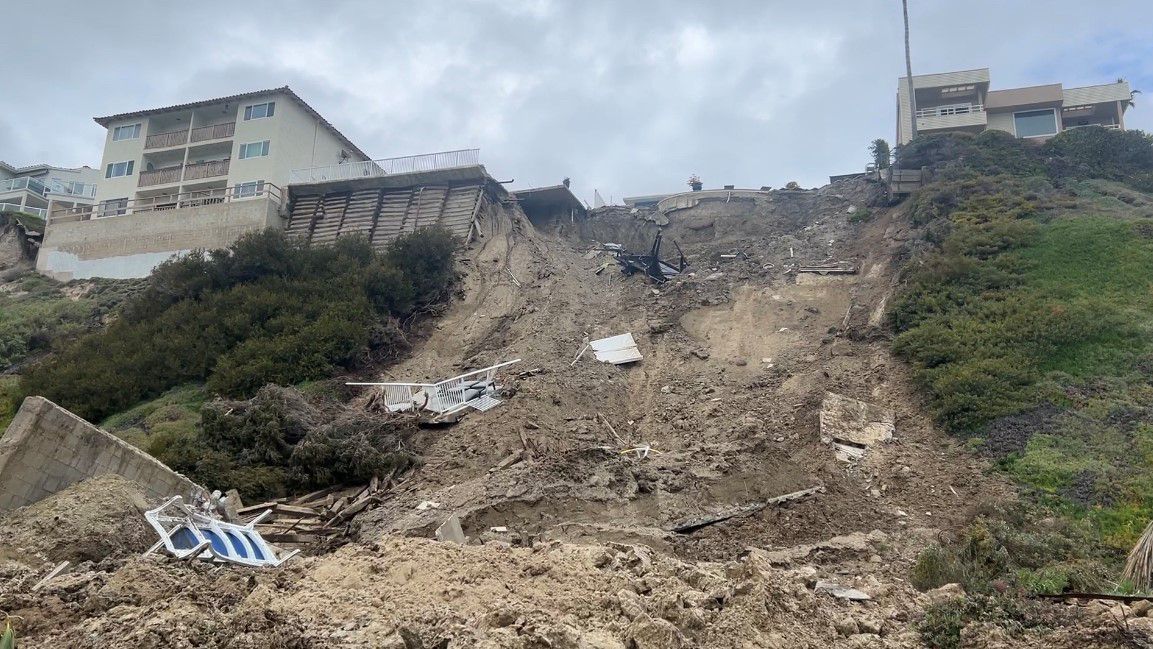
In southern California, the atmospheric river events can be beneficial by providing a majority of their yearly rainfall but they can also be quite hazardous with the risk of flooding and landslides.
Earlier this month, San Francisco recorded nearly 3 inches of rain in a single day breaking an old record set back in 1887.
Similar to hurricanes, these events are rated on a scale 1 to 5 to measure their intensity, which has allowed for better planning by local agencies over the last few years according to the Northwest Climate Hub.
Atmospheric river events in the western U.S. are mostly known for bringing rain, but they’re also responsible for heavy snowfall from the Sierra Nevada Mountains to the Cascade Mountains in the Pacific Northwest.
Previous events in 2024 brought 6 to 8 feet of snowfall in the Sierra Nevada Mountains. That amount of snowfall typically contributes to drought relief in the area, which is dry for a good portion of the year.
Unfortunately, with a warming climate, atmospheric rivers will become stronger and more common in the U.S. A warmer atmosphere can hold more moisture, which will allow for these storms to become larger and stronger in the years to come.
Our team of meteorologists dives deep into the science of weather and breaks down timely weather data and information. To view more weather and climate stories, check out our weather blogs section.